Project
Children’s Map Contest for Community Safety
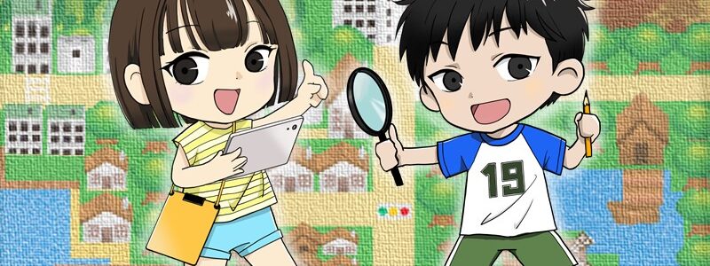
Nowadays, more people are interested in ensuring that their local neighborhood is safe and secure against accidents and disasters, including natural disasters associated with earthquakes, concentrated heavy rain, and other such things, or traffic accidents and incidents of crime. Since 2007, we at the Institute of Disaster Mitigation for Urban Cultural Heritage, Ritsumeikan University have been holding an annual Map Contest for Community Safety for children in primary schools. We ask the children, together with guardians or members of their family, local residents, and teaching staff, to investigate the safety and security of their local areas and describe the results into maps. Through this, we hope to encourage the children to have greater interests in local safety and security as well as sharing of information. Every year, the submissions are judged by a strict panel of judges, and then the best works are put on display at the Institute. The works that are selected particularly excellent are then submitted to the Exhibition of the Excellent Mapping Works by Primary and Secondary School Children organized by Geospatial Information Authority of Japan, the Ministry of Land, Infrastructure, Transport and Tourism (GSI-MLIT).


For more information on the contest,
- Map Submission
Application Form
Application Guideline
- Resources
Guideline for Making a Children’s Map for Community Safety
Research Report: Mapping Risk Through Children’s Eyes
- Related Links